Testing a novel approach to forest management with the help of LiDAR point clouds

Customer overview

The State Forest Management Centre (RMK) is responsible for maintaining, growing and managing roughly 45% of Estonian forests belonging to the Estonian state. RMK’s forestry duties include the growing and guarding of the state forest, planting and growing of new forest, organising forestry works and sale of timber. RMK maintains forest roads and drainage systems and monitors fire hazards in the state forest.


RMK’s operating areas are:

  • land-use management
  • forest management
  • forest survey
  • timber marketing
  • visitor management and nature education
  • nature conservation
  • seed and plant management

Mission overview

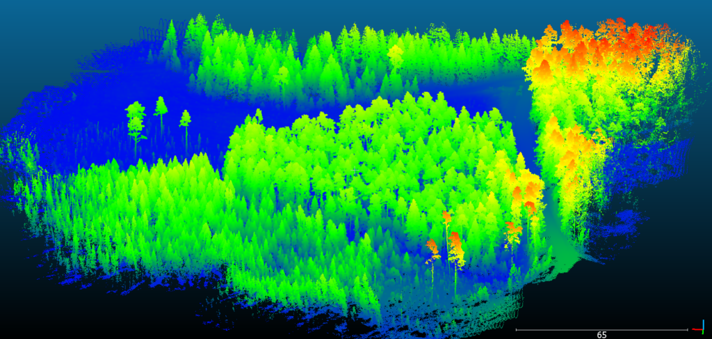
The State Forest Management Centre (RMK) contacted Hepta following Hepta’s successful operations in dense forests and areas of high vegetation. RMK was interested in finding out if Hepta’s skills, knowledge and software could also be successfully implemented in forest management. A Proof of Concept project was set up to gather LiDAR data of a piece of forest managed by RMK and to create a LiDAR point cloud of the forested area. The LiDAR point clouds purpose would be to enable RMK specialists to perform forest volume calculations and to conduct an inventory of the assets.


The LiDAR point clouds purpose would be to enable RMK specialists to perform forest volume calculations and to conduct an inventory of the assets.

Data gathering

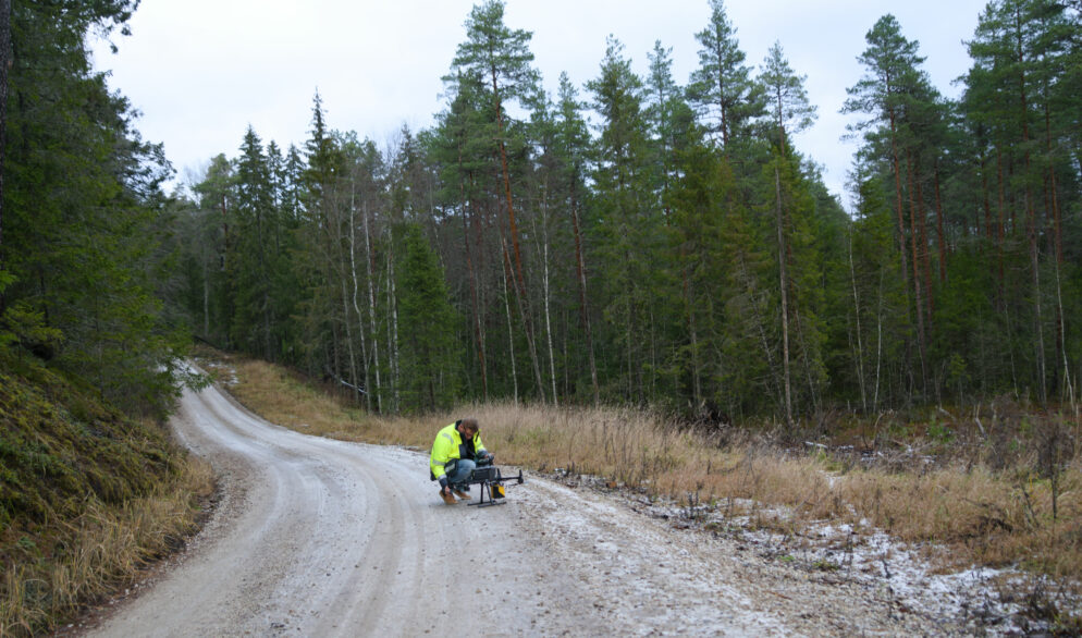
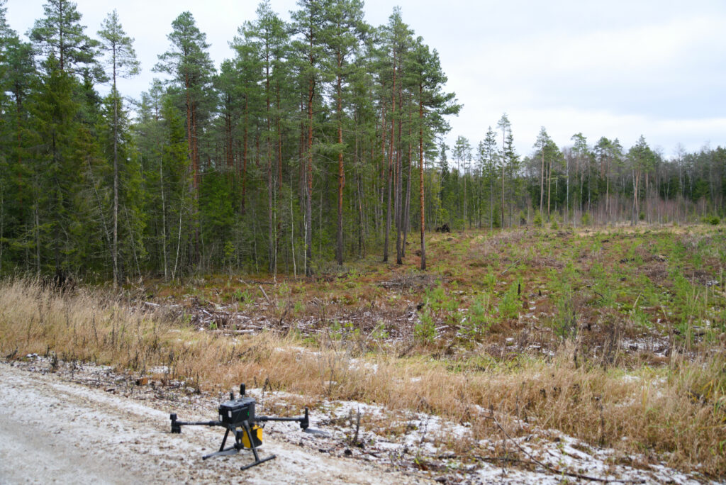
RMK chose a piece of pine forest near Pillapalu, 80km outside of Tallinn as the test area. As the LiDAR data gathering drone flights were scheduled to take place during the winter, there were some concerns regarding the weather. As LiDAR data is affected by the amount of humidity and water in the surveyed area, this could have had adverse implications. Fortunately, the winter weather did not affect the LiDAR data gathering in any way and all flights were conducted successfully. In the end, the rough forest landscape proved to be more of a challenge to Hepta’s specialists drive to the area, than the weather to the drones and LiDAR data gathering.

Hepta’s drone before the LiDAR data gathering flight

Data analysis and conclusions

Part of the LiDAR point cloud of the surveyed area

As the data gathering went without problems and the weather did not affect the quality of gathered data, Hepta’s analysis team were able to quickly create quality LiDAR point clouds for The State Forest Management Centre (RMK). Hepta’s specialists are used to working with drone gathered data from forests and jungles of the world, but still found working with forest management point clouds interesting. The LiDAR point clouds created during the PoC project were well received and will help RMK to assess the state and the volume of timber in the surveyed area. The point clouds will help RMK  to make well-informed decisions on how to manage the forest going forward. Hepta is primarily focused on power line inspections and providing the software solutions needed there, but seeing as this PoC was a success and helped to create meaningful insights for forest management, there might be additional projects like this for Hepta, going forward.

Contact us to learn more about digitizing infrastructures and conducting utility inspection with drones and AI

Get in touch