Hepta has been working with YellowScan LiDARs for years and has used them in multiple different countries with great results. Their high point density and advanced accuracy and precision have made YellowScan the LiDAR industry flagship. As collecting the highest quality of data during our inspections is paramount for Hepta, we have used YellowScan products extensively in our operations.
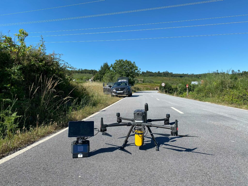
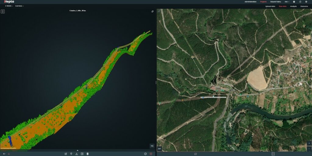
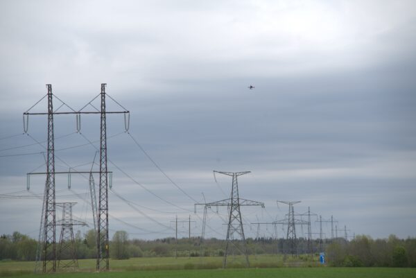
Last year we put the YellowScan Mapper LiDAR to the test in Portugal. Our client, the Portuguese DSO E-REDES tasked us with inspecting and analysing 1000 KM of power lines in the mountainous regions of Coimbra and Viseu districts. The measurements of the processed point cloud data had to match the quality (point density, accuracy, good reflections from the wires) of the highest standard. Hepta’s drone operators were tasked to gather 30 to 50 kilometres of LiDAR data per day.
Without getting ahead of ourselves, we can happily say that Hepta was able to cover 1000 KM of medium and high voltage line data in one month. In the end, we averaged LiDAR data of 150 points per square meter and 5 to 10 cm accuracy. During the data-gathering phase, we flew the YellowScan Mapper 6 days a week in two shifts, for a total of 30 days without any errors.
You can read about the operations and their planning in the mountainous regions of Coimbra and Viseu districts in our latest case study.
And if you are interested in the YellowScan Mapper performance and LiDAR data analysis, head over to YellowScan’s homepage to read their success story on the subject.


